
Oil and gas companies analyze the environment and seismic risk before starting their mining operation. Drilling the lands can cause a potential trigger to the natural environment that might lead to natural disasters affecting society; since manually checking the geological state of the location can be a lot of work. Experts developed geology and seismic software, enabling oil and gas firms convenient methods.
19+ Geology and Seismic Software
1. Surfer

2. Geoprobe

3. Petrel E&P Software
4. Geophysics

5. PLAXIS 2D

6. ArcGIS Geostatistical Analyst
7. IHS Kingdom
8. GEOVIA Surpac
9. Strater

10. MineScape

11. OpendTect

12. PLAXIS 3D

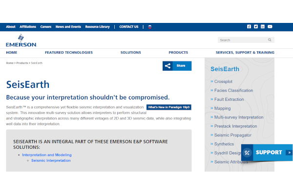
13. SeisEarth
14. Vulcan

15. GeoThrust

16. HYDPRO

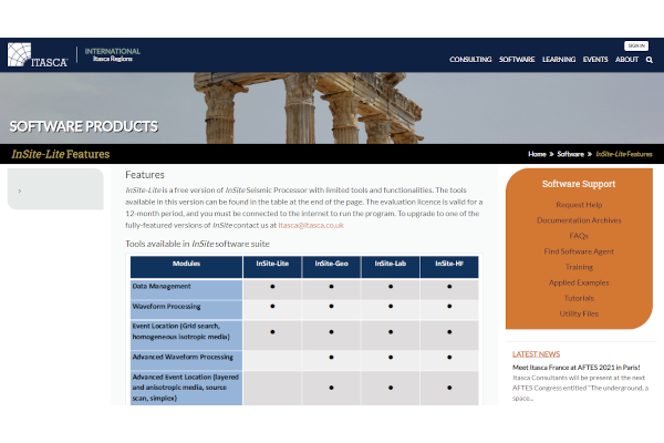
17. InSite Seismic Processor
18. Kingdom

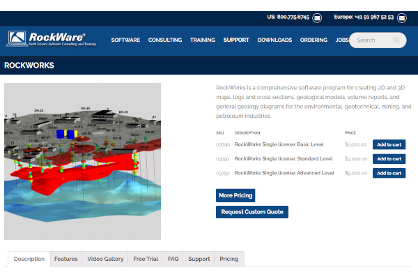
19. RockWorks
20. StarSteer

What is Geology and Seismic Software?
Geology and seismic software is a geological mapping tool you can use to analyze and study the land content of the location of your project. Geology is a critical aspect of the earth that, with a tiny miscalculation it provides seismic risk activities that can cause serious damage to the area. With geology and seismic software, you can obtain accurate data analysis, study, and deliver the information to your team and collaborate ideas. Such software gives valuable features and functionalities illustrating the land content and possible results of your actions. With geology and seismic software, you can improve the decision-making process in your project management.
Benefits
Geology and seismic software provide numerous advantages and benefits that can assist you in analyzing, studying, deciding, budgeting, and forecasting. Projects involve meetings, reporting, and sharing data to gain the overall company decision and opinions. Geology and seismic software provide features and functionalities that can help you do these factors quickly and conveniently.
Features
A product’s or service’s capabilities can be communicated through features. Various technology firms offer numerous features and functionalities that are undeniably contributive to your project. Platforms provide different offers, whether free version, advanced premium features, or free trial. They have different price ranges, which can be expensive due to their hi-tech functionalities, but rest assured, they are all helpful. Hence, it is advisable to research and evaluate the platform’s capabilities to know if it is compatible with your project. Below are recommended features most users recommend:
- Fence Diagrams
- Geocoding
- Image Management Tool
- Labeling
- Log Map Creation
- 3D Imaging
- Color Codes/Icons
- Cross Section Creation
- Data Import/Export
- Data Storage Management
Top 10 Geology and Seismic Software
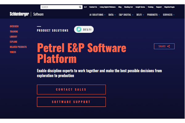
1. Petrel E&P Software
Petrel E&P Software developed by Schlumberger includes an activity dashboard, activity tracking, projections, resource management, workflow management, and many more features. Schlumberger 2,147.5 million and 169,121 employees.
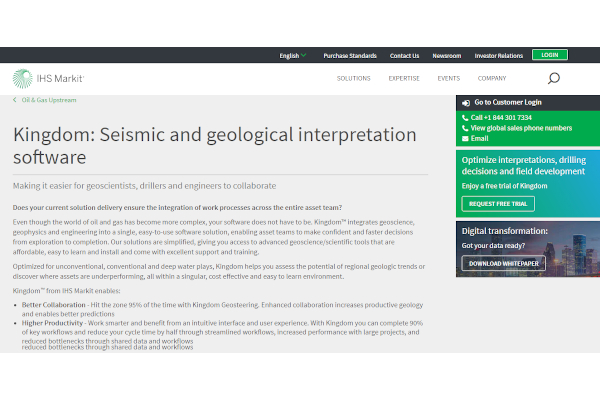
2. IHS Kingdom
IHS Kingdom, developed by IHS Markit, includes data visualization, map creation, spatial analysis, and more valuable features. IHS Markit has an annual revenue of $2,147.5 million and 15,761 employees.
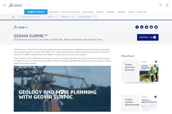
3. GEOVIA Surpac
GEOVIA Surpac, developed by Dassault Systemes, includes 3D imaging, pit optimization reporting, data management, geological modeling, block modeling, geostatistics, mine design, and many more features. Dassault Systemes has annual revenue of $2,147.5 million and 18,640 employees.
4. StarSteer
StarSteer developed by Rogii includes multiwell and multi-log geosteering, mapping and gridding, completion design integration, image log interpretation, and many more valuable features. Rogii has annual revenue of $29.2 million and 119 employees.
5. GeoThrust
GeoThrust developed by GeoTomo includes non-linear travel time, tomography bending ray, Kirchhoff migration, Tomo-Holic velocity model, anisotropic depth imaging, and many more features. GeoTomo has annual revenue of $9.1 million and 37 employees.
6. Geophysics
Geophysics developed by Seisware includes regional analysis, synthetic generation and calibration, Mistie analysis and resolution, structural interpretation, and more features. Seisware has annual revenue of $5.2 million and 36 employees.
7. Surfer
Surfer developed by Golden Software provides features such as 3D visualization, cross-section creation, volumetrics, and many more. Golden Software has annual revenue of $3 million and 21 employees.
8. Strater
Strater developed by Golden Software enables complete compatibility, a map view, cross-section customization options, plus more accessible features. Golden Software has annual revenue of $3 million and 21 employees.
9. RockWorks
RockWorks developed by RockWare includes fence diagrams, image management, log map creation, map sharing, map creation, data storage management, and more features. RockWare has annual revenue of $2 million and 14 employees.
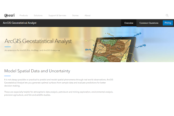
10. ArcGIS Geostatistical Analyst
ArcGIS Geostatistical Analyst developed by ESRI includes a chatbot, behavioral analytics, deep learning, demographic data, color codes/icons, and many more features. ESRI has annual revenue of a million dollars per year and seven employees.
FAQs
What is the purpose of seismic data in geology?
Geologists collect seismic data to understand the movement under the crust of the earth. Understanding seismic data enables the geologist to know where the focus is and what causes seismic activities. Knowing these details helps geologists to share information on how to lessen seismic activities and avoid the dangerous locations that are risky to build living spaces.
What causes seismic activity?
Earthquakes cause seismic activity. Seismic activity is due to seismic waves that come from a sudden fault or rock movement under the crust. Earthquakes produce seismic waves that came from volcanic eruptions, landslides, explosions, and fault movements. Seismic activities are regularly monitored to locate the focus to reduce effects and warn residents of the aftershock and other possibilities.
Why are geology and seismic software important?
Numerous companies execute projects that involve natural resources such as the land. Earth’s land needs to be analyzed, such as the environmental factors including the soil, reliability of the land, possible effects of the mining operation, etc. Geology and seismic software help your team acquire a logistic statistical analysis and understand these factors conveniently, resulting in improved decision making.
A project that includes the environment needs to perform operational risk management to ensure safety and evaluate the seismic risk of their fields and deposits. Such procedures are essential before the project execution to understand the possible effects of your project and generate contingency plans to reduce the potential effects and prevent hazardous results. Since manually doing these procedures can be a lot of work, using geology and seismic software is the best choice to acquire accurate data and ensure high-quality management.
Related Posts
10+ Best Chemical Software for Windows, Mac, Android 2022
12+ Best Vulnerability Scanner Software for Windows, Mac, Android 2022
4+ Best Bundled Pay Management Software for Windows, Mac, Android 2022
10+ Best Trust Accounting Software for Windows, Mac, Android 2022
10+ Best Patient Portal Software for Windows, Mac, Android 2022
13+ Best Virtual Reality (VR) Software for Windows, Mac, Android 2022
12+ Best Bed and Breakfast Software for Windows, Mac, Android 2022
15+ Best Resort Management Software for Windows, Mac, Android 2022
14+ Best Hotel Channel Management Software for Windows, Mac, Android 2022
12+ Best Social Media Monitoring Software for Windows, Mac, Android 2022
10+ Best Transport Management Software for Windows, Mac, Android 2022
10+ Best Other Marketing Software for Windows, Mac, Android 2022
10+ Best Top Sales Enablement Software for Windows, Mac, Android 2022
8+ Best Industry Business Intelligence Software for Windows, Mac, Android 2022
10+ Best Insurance Agency Software for Windows, Mac, Android 2022