
When we use our preferred maps app to find the directions of the destination we want to go to, the images that show us the locations looked realistic especially when seen in a 3D view. This is all possible because of photogrammetry which gives us a detailed view of the world. Photogrammetry isn’t just the process of taking an image and converting it into 3D. It’s a field where mathematics and science combine together so the process is more complex than just taking a picture of the entire world. Let’s take a look at some of the best photogrammetry software available right now.
14+ Photogrammetry Software
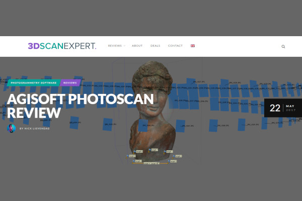
1. Agisoft PhotoScan
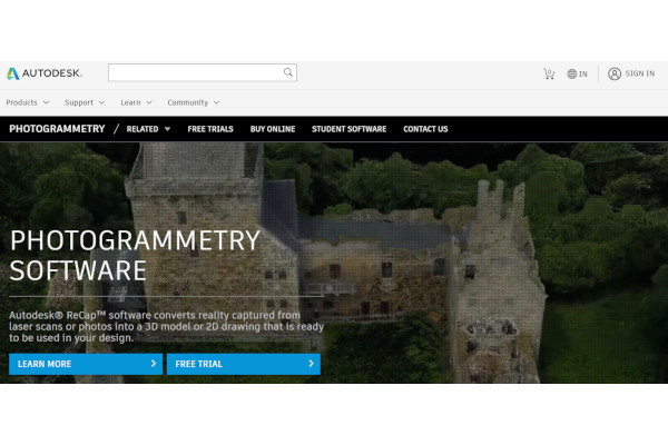
2. Recap
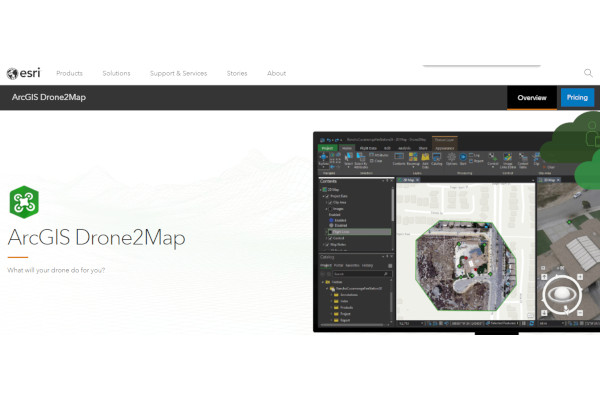
3. ArcGIS Drone2Map
4. AutoMeasure 360 Photogrammetry

5. Mapware

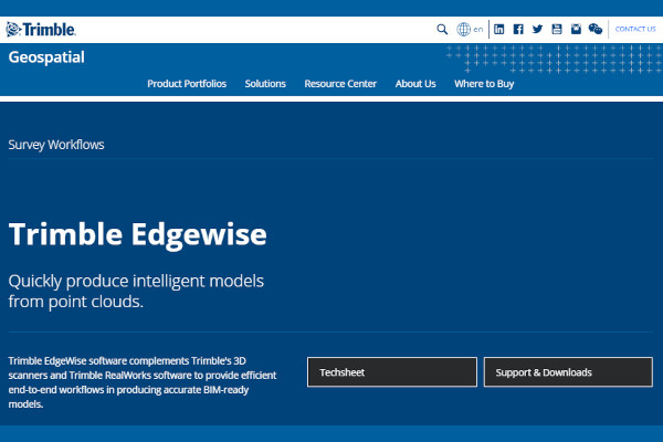
6. Trimble EdgeWise
7. Pix4Dmapper

8. 3DF Zephyr
9. SimActive Correlator3D
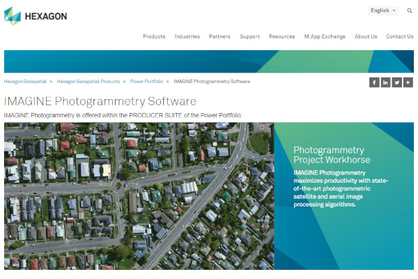
10. IMAGINE Photogrammetry
11. ContextCapture
12. Realitycapture

13. Meshroom

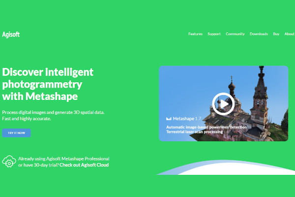
14. MetaShape
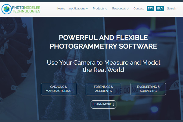
15. Photomodeler
What Is Photogrammetry Software?
Photogrammetry is the process of gathering information and data about a physical object and environment using photography. Through interpretative photography and geometry, the process relies on perspective by taking photos of the object from different angles to get the accurate measurements that analysts are looking for from the object. Photogrammetry is done either in close-up on the ground or from above using a drone. Because of how useful it is, 3D mapping and 3D landscapes are created through photogrammetry software.
Benefits
Photogrammetry is useful for data center management as the process itself is getting the data needed such as measurements of an object from several angles. Photogrammetry’s high accuracy allows analysts to measure objects using drones without having to do it physically, which lessens logistical problems such as measuring objects in hard-to-reach areas and lessens the congestion of traffic when photogrammetry needs to be done on a road. Because photogrammetry involves re-analyzing objects from time to time, data analysts don’t need to physically be on the field again to look for new data of the object and they can rely on preexisting images available in their database. The resourcefulness nature of the profession is why photogrammetry is cost-effective.
- Builds data over-time
- High accurate results resolve many potential logistical difficulties of photogrammetry
- Photogrammetry does not require heavy fieldwork
- Cost-effective due to photogrammetry’s resourcefulness
Features
Every photogrammetry software has different functionalities and purposes. According to Take Off Professionals, photogrammetry software should have these core features. The first feature is linking coordinates of several photos of the same object through tie points. Another core feature is “ground control points” which helps connect the images to the surface of the Earth. This is to give data analysts an idea of how such an object would be positioned on the ground. Bundle adjustment is an important feature as it eliminates errors in the photos to provide an accurate measurement. Photogrammetry software should be able to generate digital 3D models of the objects and areas using the images of the object taken from different angles.
- Linking coordinates of photos using tie points
- Ground control points which connect the photos of the object to the ground of Earth
- Eliminating errors through bundle adjustment
- Render 3D digital models through photos
Top 10 Photogrammetry Software
1. Pix4Dmapper
Pix4Dmapper uses its drone technology to capture photos of objects and digitalizes them by creating a map or 3D objects for measuring. It was founded in 2011 and has over 178 employees.
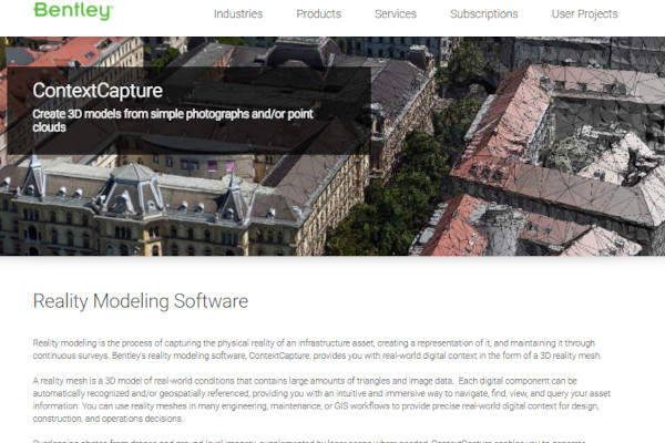
2. ContextCapture
ContextCapture uses reality modeling through drones, lasers, and ground-level imagery to model objects as big as an entire city and creates reality meshes of these captured photos.
3. Agisoft PhotoScan
Agisoft PhotoScan provides fast and accurate results in 3D rendering of captured objects and saves them to the cloud server. The company was founded in 2006 and has 5 employees.
4. Recap
Recap converts photos to 3D digital rendered models through aerial and close-range photogrammetry. Recap’s parent company Autodesk was founded in 1982 and has over 10,300 employees.
5. ArcGIS Drone2Map
ArcGIS Drone2Map streamlines photogrammetry using drone technology to capture photos of objects to create 3D models of the desired object.
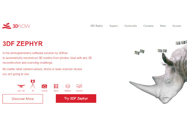
6. 3DF Zephyr
Launched in 2014, 3DF Zephyr constructs 3D models of objects by scanning several photos of the object taken in several angles regardless of photogrammetry technology used to capture images.
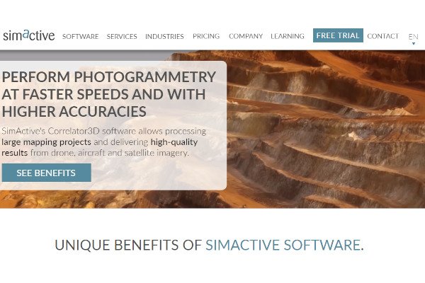
7. SimActive Correlator3D
SimActive Correlator3D offers industry-standard, unique features of photogrammetry software such as fast processing, unlimited photo uploads and works with any photogrammetry devices from drones to satellites.
8. Realitycapture
Founded in 2013, RealityCapture does more than scanning objects as it also does full-body scans and 3D printing. Being more focused on gaming, they were acquired by Fornite developer Epic Games in 2021.
9. Meshroom
Meshroom uses GPUs to create high-quality photogrammetry 3D models based on photographs taken.
10. AutoMeasure 360 Photogrammetry
AutoMeasure 360 Photogrammetry has been a helpful tool in crime scene investigations using photogrammetry tools that utilize 360-degree technology.
FAQ
What industries can benefit from using photogrammetry software?
Photogrammetry has been used in several industries such as construction management, engineering, gaming, and criminal forensics. Because photogrammetry software provides highly accurate results, it could potentially be used by more industries as the technology evolves over time. The fashion industry has been testing photogrammetry by fitting dresses to 3D models.
Is photogrammetry much more reliable than physically measuring objects?
Not only it’s more reliable but it’s more logically possible to scale objects and the area through photogrammetry than physically measuring. Photogrammetry’s use of several photos to measure objects and converting them to 3D ensures highly accurate results that physical fieldwork isn’t necessary.
Technology has evolved so much over the past decades that it can extract data from several images to create a 3D recreation of an object or area through photogrammetry. As more industries see the benefits of photogrammetry, it’s only a matter of time that it could even evolve for home use sometime in the future.
Related Posts
10+ Best Chemical Software for Windows, Mac, Android 2022
12+ Best Vulnerability Scanner Software for Windows, Mac, Android 2022
4+ Best Bundled Pay Management Software for Windows, Mac, Android 2022
10+ Best Trust Accounting Software for Windows, Mac, Android 2022
10+ Best Patient Portal Software for Windows, Mac, Android 2022
13+ Best Virtual Reality (VR) Software for Windows, Mac, Android 2022
12+ Best Bed and Breakfast Software for Windows, Mac, Android 2022
15+ Best Resort Management Software for Windows, Mac, Android 2022
14+ Best Hotel Channel Management Software for Windows, Mac, Android 2022
12+ Best Social Media Monitoring Software for Windows, Mac, Android 2022
10+ Best Transport Management Software for Windows, Mac, Android 2022
10+ Best Other Marketing Software for Windows, Mac, Android 2022
10+ Best Top Sales Enablement Software for Windows, Mac, Android 2022
8+ Best Industry Business Intelligence Software for Windows, Mac, Android 2022
10+ Best Insurance Agency Software for Windows, Mac, Android 2022