
The world is full of unpredictable events. Wildfires, crimes, seismic activities, etc., such events can harm hundreds of lives. That is why experts developed geographic information systems (GIS) software while considering these possible incidents as factors. Aside from that, GIS software is also used for business and more purposes. Continue reading below.
13+ GIS Software
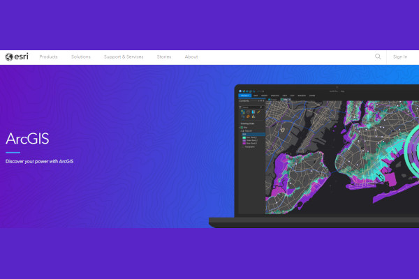
1. Esri ArcGIS
2. Salesforce Maps GIS

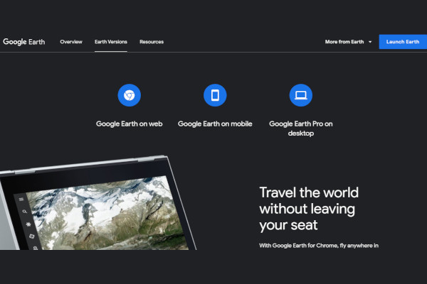
3. Google Earth Pro
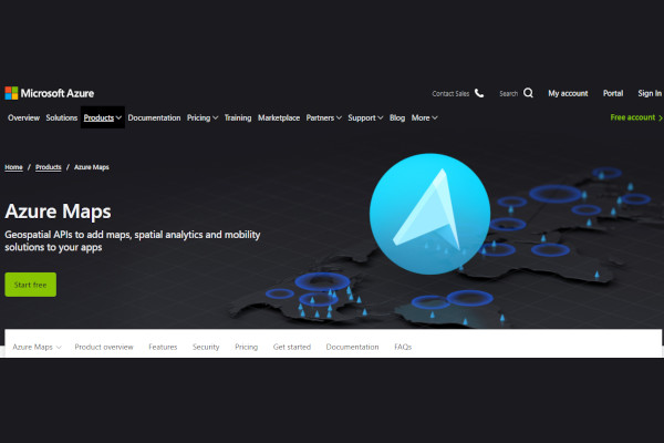
4. Azure Maps
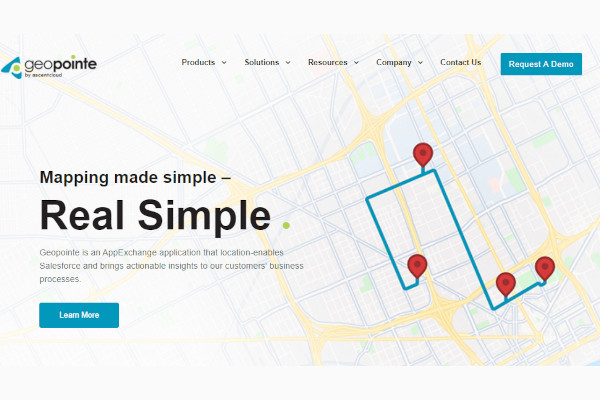
5. Geopointe
6. BatchGeo
7. Maptitude

8. MapInfo Pro
9. Google Places
10. Surfer

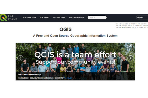
11. QGIS
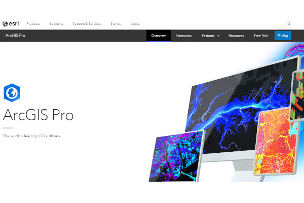
12. ArcGIS Pro
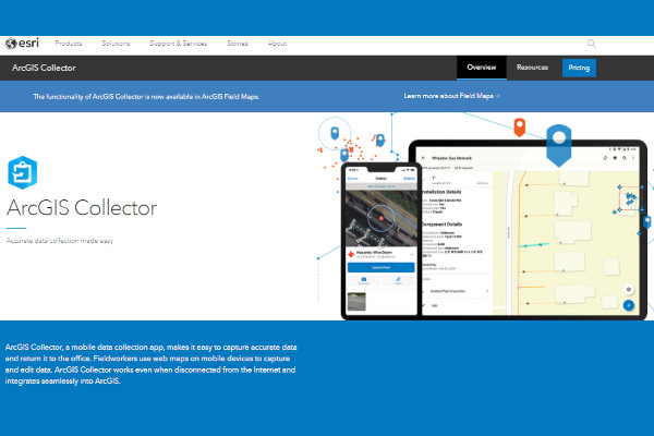
13. Collector for ArcGIS
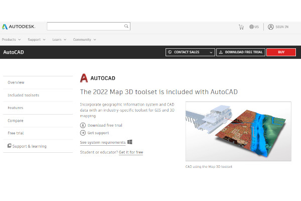
14. AutoCAD Map 3D
What is GIS Software?
Experts are continuously reviewing the geographic critical aspects in our world for a multitude of reasons. Whether business, educational, and preparedness from natural disasters, leading them to develop GIS software to find solutions to their problems. Geographic information systems (GIS) software provides advanced features and functionalities to help you obtain and analyze geographical data. GIS software aids in the storage, retrieval, management, display, and analysis of all types of geographic and spatial data. It demonstrates the 2D and 3D virtual images of the earth, showing locations and providing information to every place. Such a tool is a powerful mapping and spatial analysis tool that provide location intelligence to organizations.
Benefits
GIS software is an advanced and hi-tech technological tool that undeniably provides numerous benefits and advantages. Due to its attributes, it provides accurate geographic data analysis. Leading you to understand the state, vulnerabilities, and reliability of a particular location. GIS software can help road engineers, police departments, geologists, and other more geographic-related organizations.
Features
There is a various technology company that developed GIS software. These platforms can give various innovative features and functionalities helpful to your organization. However, you have to put in mind that some platforms can give empty promises. That is why it is advisable to conduct research and evaluate the software that caught your interest before purchasing them. They may offer free versions and free trials, a chance to check its capabilities first hand. With this method, you can experience these platforms first hand. The following are popular features that most users recommend:
- CAD Tools
- Change Management
- Collaboration Tools
- Compliance Management
- Data Visualization
- Reusable Designs
- Scheduling
- Spatial Analysis
Top 10 GIS Software
1. Salesforce Maps GIS
Salesforce Maps assists organizations in visualizing massive amounts of customer relationship management (CRM) data to locate and navigate their best growth options. Salesforce has annual revenue of $2,147.5 million and 45,712 employees.
2. Google Earth Pro
Google Erath Pro from Google has a wide range of API capabilities, including Maps SDK for Android, Maps SDK for iOS, Maps Javascript API, Maps Embed API, and many more. Google has annual revenue of $2,147.5 million and 207,490 employees.
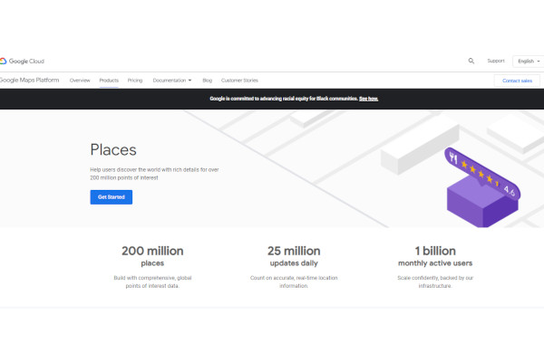
3. Google Places
Google Places from Google, includes self-service, reporting, analysis, cartography, and more innovative features and functionalities. Google has annual revenue of $2,147.5 million and 207,490 employees.
4. Azure Maps
Azure Maps, developed by Microsoft, provides geofencing software and location-based mapping data storage. Microsoft has annual revenue of $2,147.5 million and 204,819 employees.
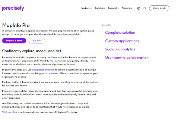
5. MapInfo Pro
MapInfo Pro was developed by Precisely, where geospatial analytics and location intelligence are used to assist you in creating insightful models of location-centric scenarios. Precisely has annual revenue of $204.9 million and 1413 employees.
6. Geopointe
Geopointe includes driver management, live driver tracking, territory management, performance metrics, and many more innovative features. Geopointe has annual revenue of $8 million and 55 employees.
7. Maptitude
Maptitude developed by Caliper includes labeling, spatial analysis, trade area analysis, image management, demographic data, and more valuable features. Caliper has annual revenue of $5.7 million and 39 employees.
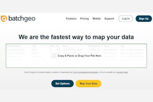
8. BatchGeo
BatchGeo includes geocoding, geographic maps, map creation, map sharing, spatial analysis, and more advanced features. BatchGeo has annual revenue of more than $5 million and more than 25 employees.
9. Surfer
Surfer developed by Golden Software includes volumetrics, 3D visualization, cross-section creation, and more advanced features. Golden Software has annual revenue of $3 million and 21 employees.
10. Esri ArcGIS
ArcGIS developed by Esri include 3D imaging, data visualization, deep learning, activity tracking, and more innovative features. Esri has annual revenue of a million dollars and seven employees.
FAQs
What are the uses of GIS software?
There is a lot of GIS software usage, including inventory and resource management, crime mapping, establishing and monitoring routes, managing networks, monitoring and managing vehicles, managing properties, locating and targeting customers, locating properties that match specific criteria, and managing agricultural crop data. It is also used to address public health concerns, map wildfire risk and preparedness, model hazmat risk, first response, and map/monitor/mitigate invasive species.
Why is GIS software crucial?
GIS software is beneficial to geographic-related organizations as they can use this particular innovative tool to obtain and analyze geographic data analytics and answer their inquiries. GIS software is used to find the best routes for roads; GIS software provides critical information to the engineers about the locations involved in road development. Aside from this, GIS software is also used to prepare for natural disasters.
What are the GIS software contributions?
GIS software is known for its great contribution to the world. One of its examples is it can help you generate an action plan to prepare and help natural disasters such as wildfire. Due to the virtual reality mapping features of GIS Software, you can improve the decision-making process that ensures the safety and less challenging procedures.
Geographic information system (GIS) software, as mentioned previously, is also used for business purposes. As we all know, business competition is growing more challenging than ever; GIS software helps you choose the best locations to start a store that ensures possibilities that reside in that area will be potential customers. GIS Software can do so much more, and it’s all beneficial in so many aspects. Choose wisely.
Related Posts
10+ Best Chemical Software for Windows, Mac, Android 2022
12+ Best Vulnerability Scanner Software for Windows, Mac, Android 2022
4+ Best Bundled Pay Management Software for Windows, Mac, Android 2022
10+ Best Trust Accounting Software for Windows, Mac, Android 2022
10+ Best Patient Portal Software for Windows, Mac, Android 2022
13+ Best Virtual Reality (VR) Software for Windows, Mac, Android 2022
12+ Best Bed and Breakfast Software for Windows, Mac, Android 2022
15+ Best Resort Management Software for Windows, Mac, Android 2022
14+ Best Hotel Channel Management Software for Windows, Mac, Android 2022
12+ Best Social Media Monitoring Software for Windows, Mac, Android 2022
10+ Best Transport Management Software for Windows, Mac, Android 2022
10+ Best Other Marketing Software for Windows, Mac, Android 2022
10+ Best Top Sales Enablement Software for Windows, Mac, Android 2022
8+ Best Industry Business Intelligence Software for Windows, Mac, Android 2022
10+ Best Insurance Agency Software for Windows, Mac, Android 2022